GPS Tree Mapping
Every tree is registered with exact coordinates, species, and planting details — a permanent, verifiable record.
GPS-verified restoration monitoring
Grow-SL maps every planted tree with GPS, tracks survival through scheduled field monitoring, and turns restoration progress into transparent, audit-ready reports.
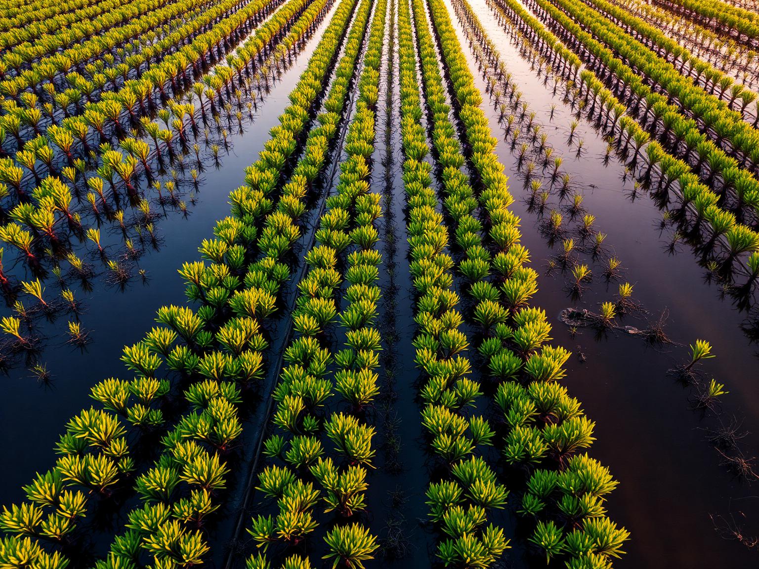
Sundarbans Mangrove Restoration
21.9497° N, 88.7500° E
Built for NGOs, government programs, World Bank-funded projects, and corporate restoration teams that need verifiable tree survival data.
From planning and planting to monitoring, reporting, and carbon-ready data — Phase 1 covers the core loop end to end.
Every tree is registered with exact coordinates, species, and planting details — a permanent, verifiable record.
Scheduled field visits capture height, diameter, canopy, and health status so survival rates are measured, not guessed.
Satellite and terrain views with project boundaries, status-colored tree markers, and density heatmaps.
The mobile web app works without connectivity — registrations and photos queue on-device and sync later.
Live KPIs, survival trends, and per-project progress give funders and managers audit-ready numbers.
Admins, project managers, field officers, and read-only clients each see exactly what they need.
Field officers plant and register each tree with GPS coordinates, a photo, and a unique QR code.
Scheduled visits record growth and health. Alerts flag trees overdue for inspection or reported damaged.
Dashboards turn field data into survival rates and progress reports that stand up to funder scrutiny.
Sign in to explore the live demo: three restoration projects, 660 GPS-mapped trees, and over a thousand monitoring records.
Open Grow-SL